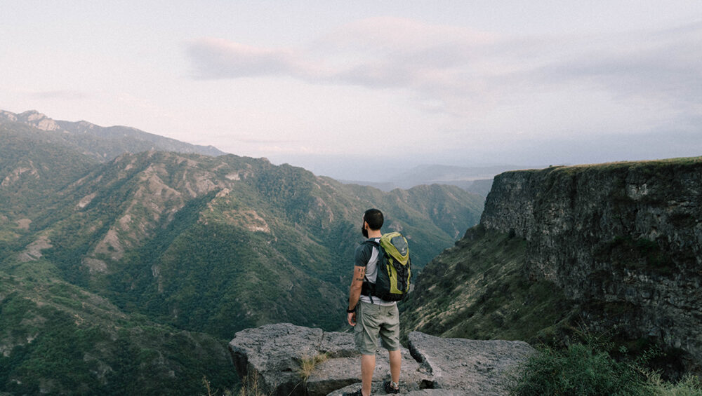
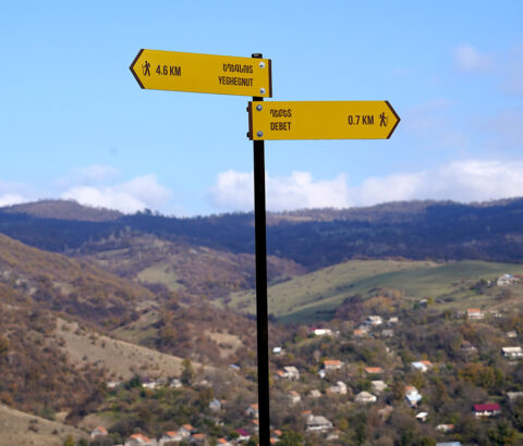
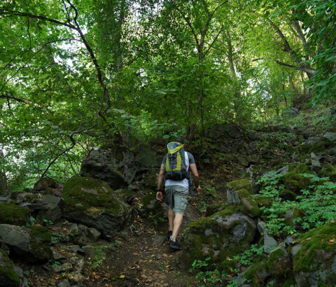
The mesmerizing Debed canyon amazes with its spectacular nature and cultural and historical heritage. A network of trails and paths that were used by locals for hundreds of years, today have become popular among hikers and outdoor enthusiasts. These trails connect different parts of the Debed canyon, passing through small villages and towns and taking travelers to must-visit sites, some of which are accessible by foot only.
One of the most beautiful hiking trails in the area is the Kobayr-Horomayr-Odzun trail. Stretching along the left slope of the Debed canyon, the trail runs from the 12th-century Kobayr monastery to the village of Odzun via the medieval monastic complex of Horomayr. This 11km-long trail is well-maintained and marked, making it easy for travelers to cover it in 4-5 hours, and enjoy breathtaking views of the Debed canyon along the entire way.
Another beautiful trail starts from the village of Kurtan, taking you to 7th-century Hnevank monastery located in the area known as the Dzoragyugh Gardens.
From here, you can continue hiking to the village of Arevatsag, passing by a natural monument known as Tsits Kar, which gained huge popularity among locals recently, and the remnants of the “Kir u Akhper” (“Sister and Brother”) castles.
Each trail offers hikers a chance to discover different parts of the Debed canyon. You can hike between the two UNESCO World Heritage Sites – the monasteries of Sanahin and Haghpat and visit the Kayan fortress on the way. Or take the “Blackberry Road” trail from Haghpat to Tsaghkashat village that takes you through a forest of blackberries, which you can pick and eat freely. July and August are the best months.
A number of trails, such as the “Once upon a time,” “Giqor,” “Dsegh Loop,” and others are available around the village of Dsegh. Dsegh Loop Trail takes hikers to a hidden treasure of medieval Armenian architecture, the monastery of Bardzrakash St. Gregory. Most of these trails are well-marked and available in the HikeArmenia website and mobile app where you can check trail details and download them for offline use.

